
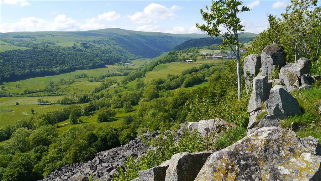
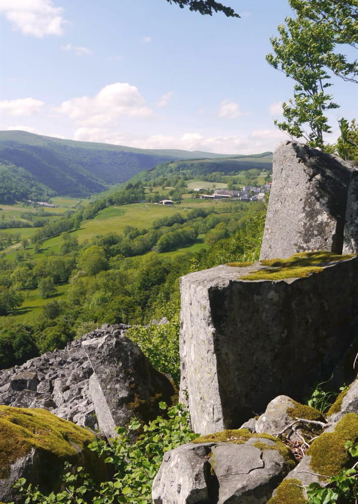
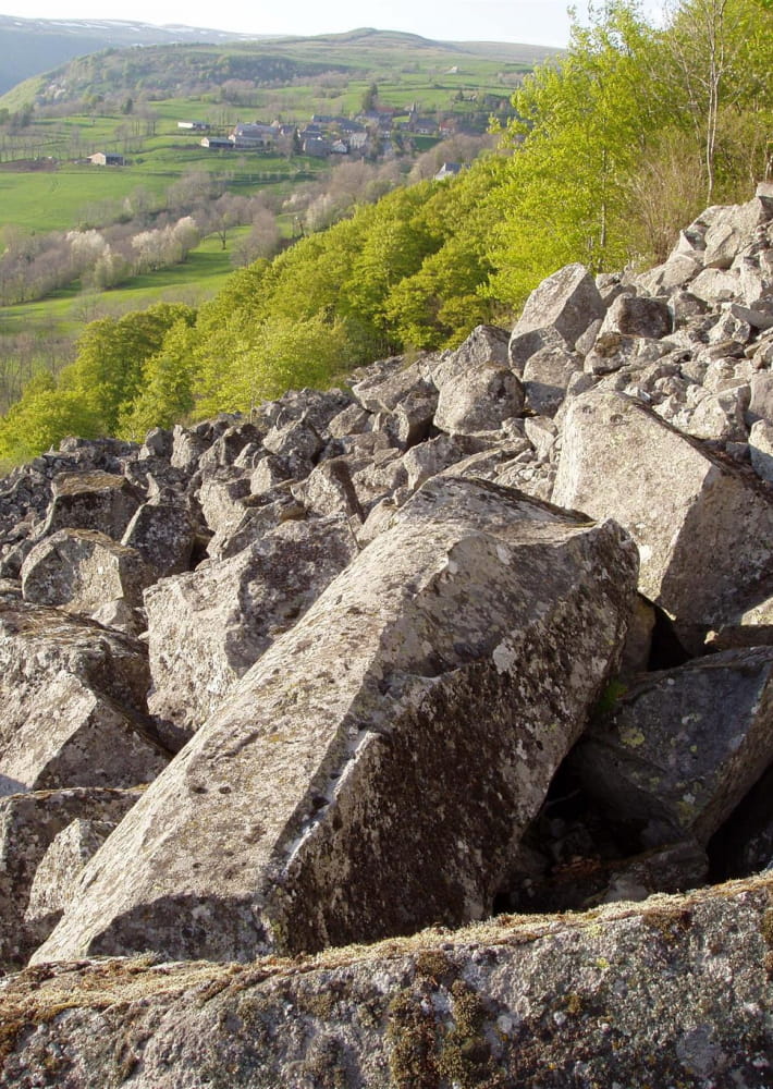
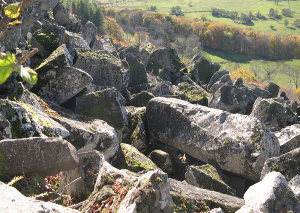
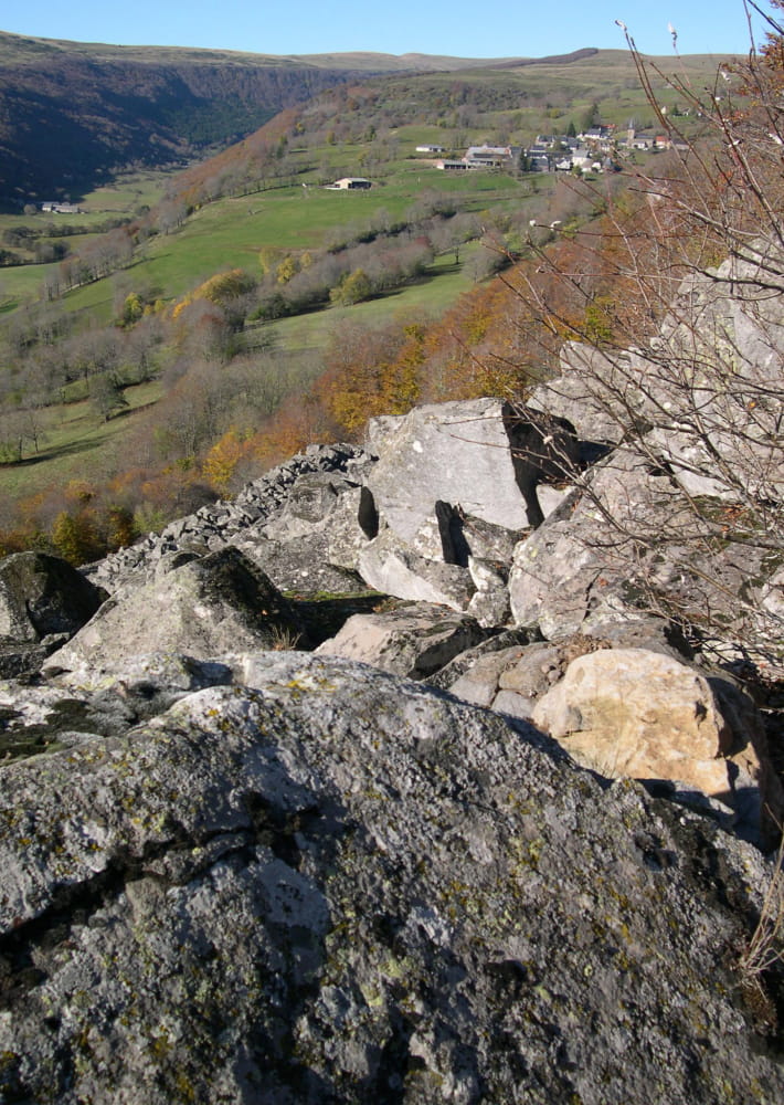
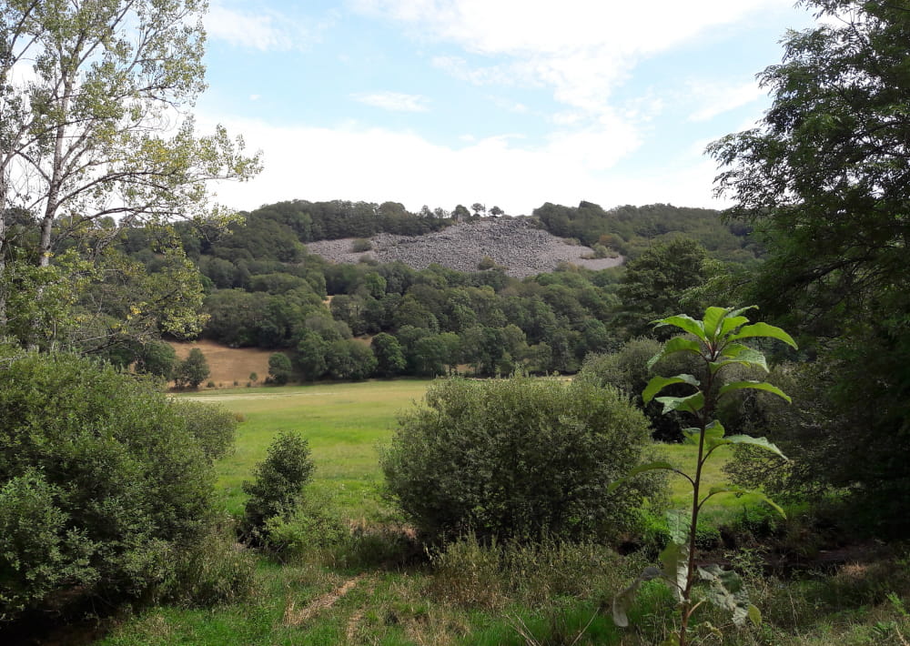
Thematic trail to a rockslide of basalt comumns with information in French on geology and beautiful view on the Siniq valley. Starting point sign.
Description détaillée Informations complémentaires
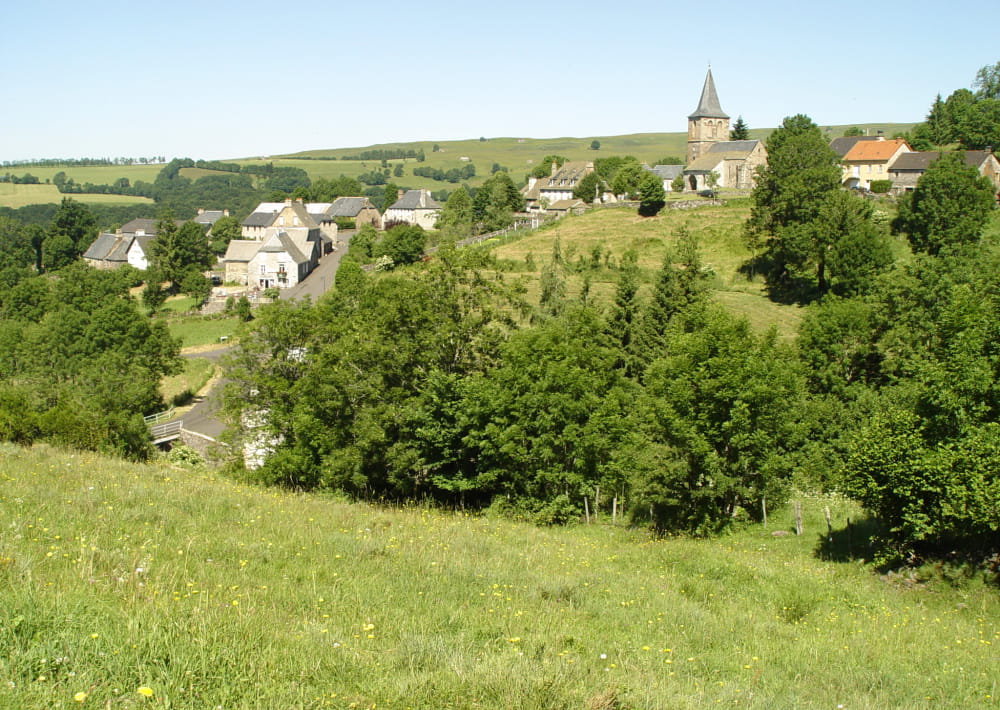
Depart in Malbo, parking near the bridge over the little river Malbonnet.
Cross the bridge and take the D 54 in direction of ROUPONS.
Pass in front of the cemetery and continue until a parking/resting place.
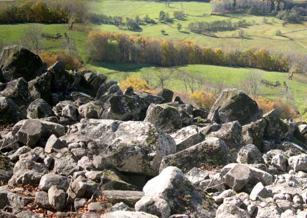
Take at left until the Rocaillade, then return to the road.
Go around the Puy de la Garde. Beautiful view.
Continue the hike on the path and go down to the base of La Rocaillade. Cross the river by a little bridge and continue. Climb up and join the road D 54 and go back to the parking.
This geological site is accessible on foot from Malbo by a 5,6 km trail (1h45 return) or by a little footpath on the road between Malbo and Roupons (D 54 coming from Malbo park after the water reservoir, departure sign).
Several pedestrian trails are possible with departure in Malbo (brochure in the Pierrefort tourist office, 3 €).
Paths not accessible for strollers.
- Type : Boucle
- Nature du terrain : Not suitable for strollers
- Environnement : Mountain view, Mountain location, Village 2 km away
- Restauration possible à Malbo au restaurant "La Femme du Barbu" (réservations tél. 09 52 69 41 07).
Voir aussi : La Cascade du Capat à environ 6 km en voiture de Malbo et le site de Rissergues, site archéologique d'un hameau de l'an mille (Accès: en voiture piste de terre après Polverelles, petit village au-dessus de Malbo (800m) - à pied depuis Polverelles 4,5 km).
On vous
recommande aussi
recommande aussi


Mise à jour le 02/08/2023 Par Office de Tourisme des Pays de Saint-Flour